Hello guys.
I need to do a calculator with road speed violations.
Does anyone know any database with highway speed limit geofences?

    • Edited

    For example, you can get speed limits for boundary box(bbox parameter) from OpenStreetMaps using xapi overpass api.
    But you should remember that data in OSM is not official and may be incomplete.
    Example for Minsk:

    https://www.overpass-api.de/api/xapi?*[maxspeed=*][bbox=5.6283473,50.5348043,5.6285261,50.534]

    More info about xapi: https://wiki.openstreetmap.org/wiki/Xapi

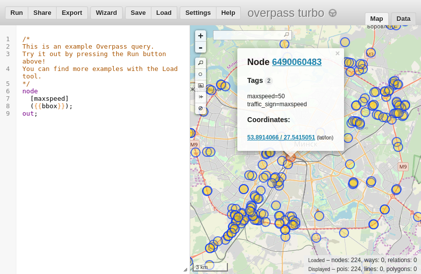
    Also you can use Overpass QL and gui tool to write your own requests and see data on the map:
    https://overpass-turbo.eu/s/MMD

    I do not thing that flespi calculator is suitable for direct road-network based over-speeding detection.

    It can provide you with filtered data ready to be analyzed by additional engine, for example while vehicle is moving generate events with points information where speed was more then, say 40 km/h. This will filter 80%-90% of points that you do not need and make your over-speeding detection algorithm more efficient.

    Thank you guys for the reply.
    I need to create an overspeed alert with the distance traveled and time the vehicle has exceeded the allowed speed.
    All vehicles are on Wialon so I am thinking of creating a speed alert to post to my webservice when overspeed occurs.
    I know that may not be the best way. But this is a request from a customer to take a test :(
    For now I'll use it this solution.
    When I do something more elaborate I will post here in the forum to be used by the community.

    Write a Reply...